The Coastal Plain – Walk through the Land
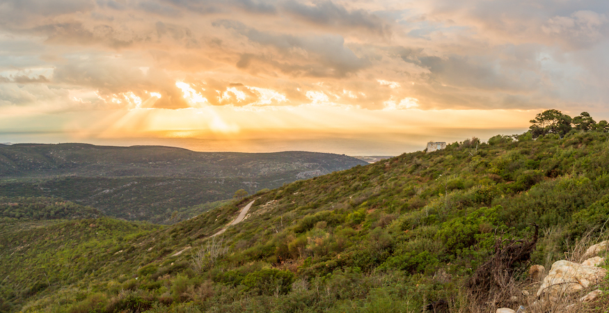 Partial Panoramic view of sunset on Mediterranean seen from Carmel Mounts. Haifa. Israël | Photo: Shutterstock
We are in part 2 of the ‘Walk through the Land Series.’ The goal is firstly, to help you understand the Bible better by learning about the land where most of the events in the Bible occurred, and secondly, to help you gain more benefit from your next holy land tour.
Last time, we focused on the Sea of Galilee, the most famous body of water in the world. In this article, we introduce you to the coastal plain.
The plain starts in the south at the Besor River or Nahal Besor (‘river’ or ‘river bed’ is called nahal), south of Gaza. It extends in a North-South direction 193 km or 120 miles to the Lebanese border at Rosh Haniqra. In 1,800 years of history, ancient Israel only controlled the coastal plain for 150 years. Yet, it plays an important role in the land and history of the Bible.
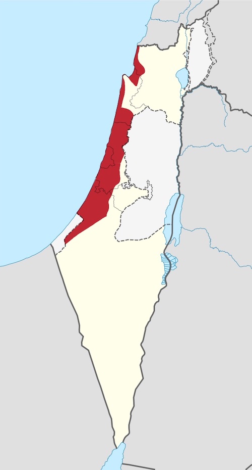
Coastal Map Israel | Photo: ויקיג’אנקי, CC BY-SA 3.0, via Wikimedia Commons
In general, unlike much of the country, the coastal plain is well-watered. It receives 400 to 640 cm (16 to 25 inches) of rainfall annually. It is graced with fertile alluvial soil and rolling hills.
“The land of the Bible is a ‘land-bridge’ between 3 continents”
The International Highway
The land of the Bible is a ‘land-bridge’ between 3 continents. On its eastern side of Philistia, approximately 16 km inland, is the strategic Afro-Eurasian international highway. This road connects Egypt and Africa with Syria, Assyria, Babylon and beyond. You literally cannot travel by land from Africa to Asia except by coming through this little land. As such, the land bridge was a tempting target and coveted prize for great powers of old, thus making the promised land a rope in a geopolitical tug-o-war game over the centuries.
Yet, despite its straight and simple terrain, travel on the international highway could be challenging with sand dunes, the Yarkon River which flows to and through Tel Aviv, and the low-lying areas that get marshy during the winter rain.
Though the international highway has been closed since the birth of Israel in 1948, it has an important prophetic role in the future. Isaiah 19:23-24 declares: In that day there shall be a highway out of Egypt to Assyria, the Assyrian shall come into Egypt, and the Egyptian into Assyria and the Egyptians shall serve with the Assyrians. In that day Israel shall be the third with Egypt and with Assyria, even a blessing in the midst of the land.
The Sand and the Sea
Here is an example of how geography influences history.
The coastal plain south of Haifa and Mount Carmel is very straight, with tiny sand-choked inlets. Where does the sand come from? Answer: The Sahara Desert. The Nile River carries the sand into the Nile Delta, where it flows into the Mediterranean Sea. The sea current carries it in a counter-clockwise direction and deposits sand on the northern coast of Sinai, the Gaza Strip, and Israel’s coastal plain all the way to Mount Carmel.
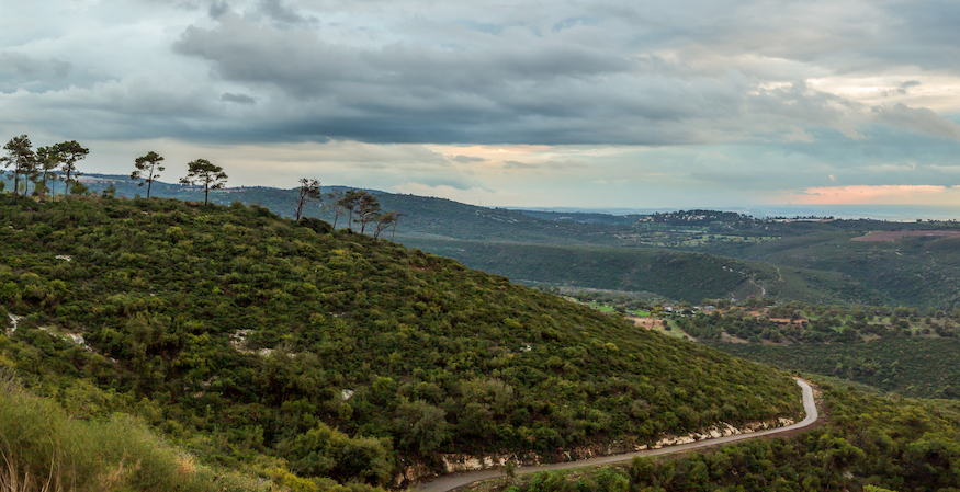
Partial Panoramic view of sunset on Mediterranean seen from Carmel Mounts. Haifa. Israël | Photo: Shutterstock
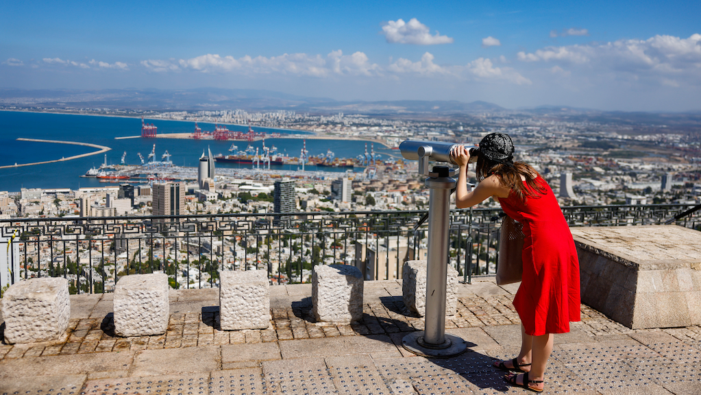
Carmel is not a single peak but a mountain range, known as ‘The Carmel.’ Carmel juts into the Mediterranean at Haifa, resembling an ‘antelope’s nose,’ as the ancient Egyptians called it. This promontory of Carmel serves a very important purpose: it is a barrier that prevents the Sahara sand going further north.
That’s why the coastal plain north of Carmel has viable natural ports not filled with Sahara sand, such as in Acre, Tyre, Sidon, and Byblos. No wonder the Phoenicians were the great maritime nation of antiquity. South of Carmel there were no suitable ports and the Israelites focused on agriculture.
For our purposes, we will divide the coastal plain into three parts:
1. The Plain of Philistia (south);
2. The Plain of Sharon (centre);
3. The Plain of Acre (north).
Though all three subregions are important parts of the coastal plain, they all have their unique distinctives which make their individual histories very different. For example, the Plain of Philistia houses the 5 Philistine cities: Gaza, Ashkelon, Ashdod, Ekron, and Gath. Thus, it was well inhabited and had access to decent agriculture. The neighbouring region to the north, the Plain of Sharon, was different: it was sparsely inhabited, with limited agriculture, and was much neglected in the Old Testament period. The Plain of Acre, separated from the rest of the coast by The Carmel, related more to the Phoenicians than Israel.
Plain of Philistia
From the Besor River northward to Jaffa and the Yarkon River, the Plain of Philistia is 80 kilometres (50 miles) North-South and 16 to 40 km (10-25 miles) East-West. Rainfall is 400-510 mm (16 to 20 inches) annually. The coastline is totally straight and the land flat, except for sand dunes and kurkar ridges. The red soil of the Plain of Sharon and the alluvial loess soil from the Negev, combined with the rainfall, produces grain, melons, and citrus groves (think of ‘Jaffa oranges’).
The northern region of the Philistine plain, between the Yarkon River and Aijalon, is called the Plain of Ono (Nehemiah 6:2), otherwise known as the ‘Valley of Craftsmen’ (Nehemiah 11:35), recognising that the Philistines were workers of iron. Now there was no smith found throughout all the land of Israel: for the Philistines said, Lest the Hebrews make them swords or spears: But all the Israelites went down to the Philistines, to sharpen every man his share, and his coulter, and his axe, and his mattock (I Samuel 13:19-20).
“The Philistines came from Captor from the west, namely the Aegean Sea region”
Around the time Israel settled in the land on the east, the Philistines came from Captor from the west, namely the Aegean Sea region. Amos 9:7 confirms this: Have I not brought up Israel out of the land of Egypt? and the Philistines from Caphtor, and the Syrians from Kir?
Once these two peoples met, it was ‘war at first sight.’ The Philistines were fierce enemies of the Israelites, especially during the days the judges, Saul and David. Though the name ‘Philistines’ implies uncivilised, in reality they were an advanced people in ironworks. Their drawback was the worship of false gods, like Dagon and Baalzebub. Famous encounters include Samson’s one-man war with the Philistines, David’s victory over Goliath, Saul’s defeat and death by the Philistines on Mount Gilboa, and David’s constant battles and victories. Afterwards, we hear little about them except for occasional references by the minor prophets. They eventually disappeared from history while the people of Israel continue until this day.

Why Israel? by Rev. Willem Glashouwer
Order the book